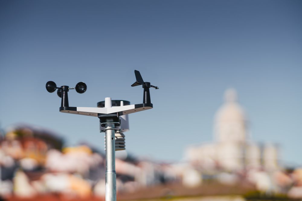
Vortex Weather Insurance obtains weather data from the National Oceanic and Atmospheric Administration (NOAA). It’s an independent third party source used to determine if a weather policy has triggered.
Contact us with any questions about how our weather insurance works. We’d love to talk about the weather, for real, and provide your event with help protecting that bottom line.
How is Weather Data Used by NOAA?
NOAA created a grid that overlays the contiguous states in the U.S. This grid consists of 2.5 mi-square boxes. With amazing accuracy, they can measure precipitation per hour in each of these grids.
They created this grid to help predict river levels. If there was rain in certain grid boxes, they could accurately report the amount each hour, helping places and people in grid boxes downriver better prepare for the upstream rain’s effects on their river levels..
However, it also created an excellent, accurate, hourly record of rainfall in each grid box that the weather insurance industry could use. They became our trustable, independent third party data source for transparent weather insurance policy function.
Beyond the Rivers
NOAA is an umbrella (pun intended) name for several departments, many of which you’ve already heard of:
- National Environmental Satellite, Data, and Information Service
- National Marine Fisheries Service
- National Ocean Service
- National Weather Service
- Office of Marine & Aviation Operations
- Office of Oceanic & Atmospheric Research
How is weather data used by them?
- Daily weather forecasts
- Severe storm warnings
- Climate monitoring
- Coastal restoration
- Marine & fisheries management
- And more!
Related: the big picture on weather data.
How is Weather Data Used by Vortex?
When you purchase a rain insurance policy from Vortex, you’ve given us 4 important pieces of information to create it:
- Your Event Location
- The Event Time
- The Rain Threshold
- An Insurance Limit
You’ll provide this information in the Vortex Weather Insurance Portal, or by contacting us. Your policy cost is determined by them, in relation to the dollar value of your policy payout.
The Grid Box for Event Location
Your event location will fall inside a NOAA grid box. We will use the recordings from that box—all 2.5 square miles of it—to measure the possible rainfall at your event.
Hourly Rain Measurement
Using the weather data supplied by NOAA, we’ll look at the specific hours your policy covers.
Did the Policy Trigger?
With both the location and the hourly rainfall amounts reported to us, should the amount meet or exceed your rain threshold in that location grid box during the specified time, your policy automatically triggers.
Your Policy Payment
If your policy triggers, our headquarters will cut a check for the amount of your insurance limit and get it in the mail to you. That’s it. No extra reports, no proof of loss, no adjusters. If your policy triggers, it pays out.
Related: understanding weather data for insurance.
How Is Weather Data Used to Protect Your Bottom Line?
The accuracy of the data, and the distinguished reputation of NOAA, provide a rock-solid report for your insurance policy resolution. We can all trust the numbers, and appreciate the results when that check arrives to boost your bottom line.
But if you’re not sure how much rain might be too much, the team at Vortex has been helping organizations like yours since 2008. We’ve talked through policies for similar events, helping their organizations keep their bottom lines intact when the forecast falls apart.
Let us do the same for you. Use the Vortex Weather Insurance Portal at your leisure to estimate costs, customize policies, and lock in your weather insurance. It’s open 24/7/365.
Or call us at 913-253-1215. We’d love the chance to find out more about your event, and help you save the day when the day calls for rain.
For your important outdoor event, don’t just protect it. Vortex it!

